


grisonniere montagne ubac belliers960m 15kms

Danielba
User GUIDE
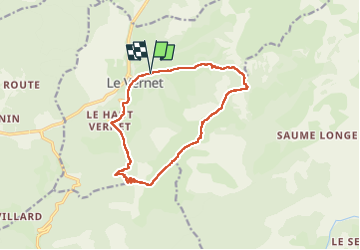

Length
14.2 km

Max alt
1987 m

Uphill gradient
861 m
Km-Effort
26 km

Min alt
1202 m

Downhill gradient
861 m
Boucle
Yes
Creation date :
2024-05-21 06:44:21.107
Updated on :
2024-05-21 16:59:45.822
7h19
Difficulty : Difficult

FREE GPS app for hiking
 SityTrail
IGN / Geographical institutes
SityTrail Plus
The world is yours!
About
Trail Walking of 14.2 km to be discovered at Provence-Alpes-Côte d'Azur, Alpes-de-Haute-Provence, Le Vernet. This trail is proposed by Danielba .
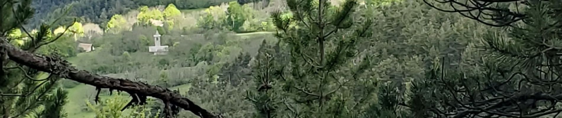
Photos


Positioning
Country:
France
Region :
Provence-Alpes-Côte d'Azur
Department/Province :
Alpes-de-Haute-Provence
Municipality :
Le Vernet
Location:
Unknown
Start:(Dec)
Start:(UTM)
292288 ; 4906002 (32T) N.
Comments